
GIM develops satellite-based framework to evaluate farm policies
Sakshi Gupta | May 26, 2026 | 02:36 PM IST | 2 mins read
Researchers at Goa Institute of Management used satellite imagery and econometric analysis to assess agricultural schemes without relying on surveys
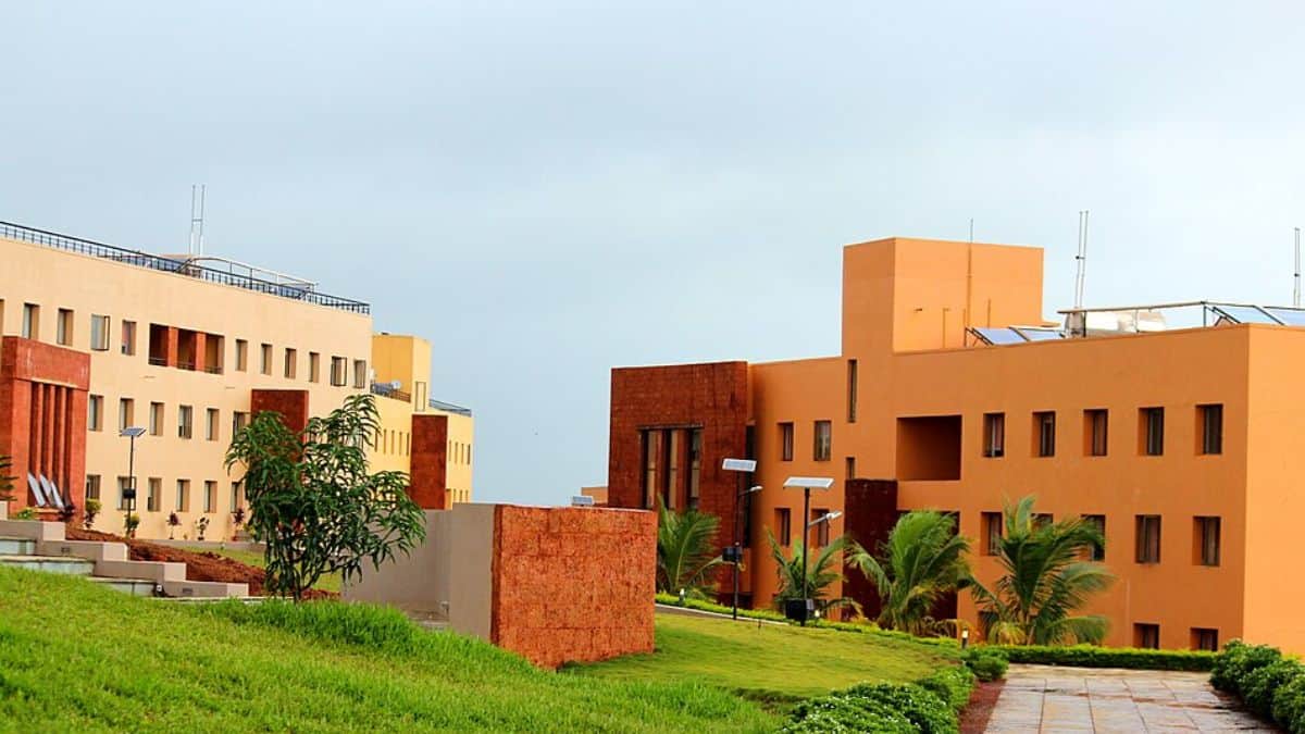
Goa Institute of Management (GIM) has developed a satellite-based framework that can help governments measure the impact of agricultural schemes even when traditional survey data is unavailable. The research uses satellite imagery along with econometric methods to study whether public welfare programmes are actually improving farm productivity and livelihoods.
The study was led by Muddasir Ahmad Akhoon in collaboration with researchers from Azim Premji University (APU) and Indian Institute of Management (IIM) Ahmedabad. Their findings have been published in the Journal of Agricultural Economics.
According to the researchers, many developing countries introduce large-scale agricultural policies without collecting baseline data before implementation. This often makes it difficult to properly evaluate whether the schemes are delivering the intended benefits to farmers.
GIM develops framework to assess farm schemes
To demonstrate the framework, the research team studied Telangana’s Rythu Bandhu scheme, launched in 2018 to provide financial assistance to landowning farmers. The programme initially offered Rs 4,000 per acre per cropping season, which was later increased to Rs 5,000. By 2021-22, the scheme accounted for nearly 55 per cent of the state’s agriculture budget.
Also read IIT Madras launches Rs 4.5 crore maritime research facility with Mazagon Dock support
The team analysed satellite images from agricultural areas located within a 10-kilometre strip along Telangana’s border. These locations were selected because they shared similar farming and environmental conditions with neighbouring regions that were not covered under the scheme, allowing researchers to compare outcomes more effectively.
Speaking about the study, Akhoon said, “One of the biggest challenges faced by developing countries is that policies implemented to achieve various development outcomes often remain unevaluated for long periods, simply due to the non-availability of ground-level survey data, particularly pre-implementation baseline data.”
He added further, “This study demonstrates that satellite data can fill that gap rigorously and at scale. Our hope is that this methodology becomes a standard tool for governments and public policy professionals seeking credible evidence on what works for policy beneficiaries, even when traditional data systems fall short.”
GIM study finds gains in crop productivity
The study found that direct cash transfers under the Rythu Bandhu scheme increased agricultural productivity during the kharif season by nearly 1.47 to 2.05 per cent compared to neighbouring regions that did not receive similar support. Crops such as rice, wheat and maize recorded noticeable improvements in productivity.
Also read ICSSR launches ‘Yuva Shodh Pratibha’ for FYUP students under NEP 2020
Researchers also observed that rainfed farming systems, which are generally more vulnerable to weather-related risks and limited resources, appeared to benefit significantly from direct cash support. The framework, they said, can be particularly useful in regions where conducting large-scale surveys is difficult or expensive.
The researchers said the framework could also be used to evaluate programmes such as PM-KISAN and other agricultural initiatives across India. Beyond farming, they believe the approach may help assess infrastructure projects, environmental policies and social welfare schemes in regions where timely data collection remains a challenge.
 Add as a preferred source on google
Follow us for the latest education news on colleges and universities, admission, courses, exams, research, education policies, study abroad and more..
To get in touch, write to us at news@careers360.com.
Next Story
]Jamia Millia Islamia student’s project can help Delhi’s unauthorised colonies ride out a heat wave
Jamia Millia Islamia’s architecture PhD student explores low-cost ways for densely-packed unauthorised colonies – ‘heat traps’ whose residents suffer most in a Delhi heat wave. Her project won second place in a competition
Azib AhmedLatest Education News
]Related News
]ABVP holds protest at DU against ‘anarchy’, backs democratic institutions
JNU VC acknowledged hunger strike for first time, but refused to speak to rusticated students: JNUSU
DU VC urges newly elected DUSU office-bearers to lead drug-free campus campaign


